OK, here we came to a point where no bypasses were wide enough for us
within reasonable camber limits (here the trail goes right along the crest,
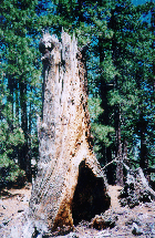
from one peak to another). Out came the tow strap, and I had to pull the
trunk off the trail. We had some suspicions that BLM and Forest Service
somehow helped the dead trees to fall right across the trail (the trunks
were mostly aligned at 90 degrees' angle to the trail); this particular
tree (see photo at right) looked rather fallen due to natural causes. Though...
hmm, winds don't usually blow from there... Anyway, off the trail the log
went, and up we go again. Two photos of rocky sections of the trail shown
in Part 1 belong rather here; both are very similar. They start as very
loose gravel, with baseball-sized rocks, and pieces get bigger as the trail
gets steeper. I was unable to pass both sections without locking the center
differential, and despite my dislike to any wheelspin and associated dust
clouds (or mud sprays) I had to stomp on the gas pedal to keep going. Nice
add-on feature in one section - after about 300 feet of this climb there's
a small ledge you've to grab onto; this spot is a little off-camber, but
the gut feeling is amplified greatly as from your side window you don't
see anything but the lake, nearly two thousand feet below, and nothing
but the sky ahead. I've armed my kids with hand-held Cobra CB and sent
ahead to spot for me, but our progress turned out to be faster than they
could climb at nearly 3 km elevation. We even found some trail marker!
It didn't match the standard markers' style accepted now in the Forest,
so it must've been around for quite a while.
All of a sudden, our progress came to a sure halt. Found our ladies
and kids sitting in a shade of a pine tree, with absent looks on their
faces. Apparently, there was little way even to walk. We were very close
to Little Bear Peak, and the top looked so darn close!
Took our time to walk the trail. In fact, there was no trail anywhere
in sight. Dead ahead there was a 20-feet bunch of cut wood, indicating
some human intention to prevent any progress in this direction. On the
left, there was a rock that we couldn't possibly climb over with our skinny
31" rubber and 2" of factory lift. On the right, there was a nice combination
of both wood and stone arranged in a pattern ensuring no way in this direction.
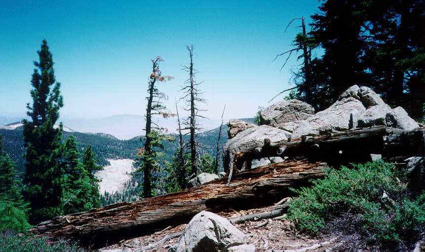
Any farther to right or left - and you're looking into 20-degree off-camber,
with ample room to roll despite numerous fir and pine trees. Moreover,
even the hike up to the top could be considered a separate exersize, for
all the ground covered with thick and thorny undergrowth. Oh well, sometimes
we've got to bail out... Nice little adventure to make a U-turn on a 10-degree
slope, family members loaded into the jeeps, and down we go.
As a result of this trip, my jeep acquired a few more features. Left
front fender got a small dent right behind the bumper (tell me how could
you damage the sheetmetal behind the bumper!!!), a few more scratches added
to 20-years old paint job, and my brand new cartopper bag ripped into pieces,
spilling tents, sleeping bags, and various undergarments all over the trail.
It sure helps to have someone behind you with a CB, you know...
In just twenty minutes we've been back on dirt road 2N71. Came down to Fawnskin, found a place for everybody to jump into the lake, ate healthy lunch, fueled and aired up at Big Bear Lake City, and went home. I noticed my engine running warmer going along I-215 near Perris, CA., than climbing that highway 330 from San Bernardino to Arrowbear! Was it warm outside... Guess near a hundred; have to fix that air conditioning...
Happy wheelin'!
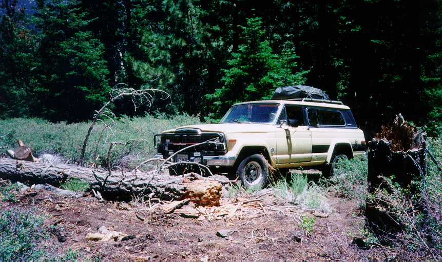
Pulling that log off the trail.
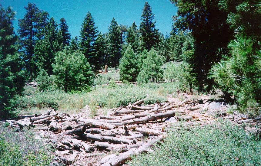
Excuse #1 not to go farther.

Excuse #2 not to go farther.
Excuse #3 not to go farther.
|
|
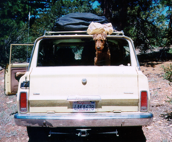
Our little companion - a junior airedale
terrier Teddy